Highlighted Route
One man’s vision to cross Utah on dirt, through the middle of America’s most rugged desert treasures
“It’s the roughest country you or anybody else ever seen,” wrote Elizabeth Decker to her parents in 1880. “It’s nothing in the world but rocks and holes, hills, and hollows. The mountains are just one solid rock as smooth as an apple.”
Not much has changed in the topography of southern Utah in the century and a half since Decker put those words to paper, when she and the other Mormon settlers of the San Juan Expedition spent six months traveling east by wagon from Paraganoh, Parowan, and Cedar City on a journey they had expected to take six weeks. It’s cussedly rugged terrain, a “bad place to lose a cow,” as the ranching saying goes, with not much water, lots of sun, and little for shade other than gnarled juniper trees and twisted pinyon pines.
It’s also a heck of a landscape in which to set a road trip—home to some of the country’s most celebrated national parks, its newest and most controversial national monument, and, since 2008 or so, an all-dirt overland route known as the Utah Traverse. This is where you find the Zion Narrows, Buckskin Gulch, the Needles District, Indian Creek, Slickrock Trail, and the Valley of the Gods—legendary destinations for backpacking, hiking, climbing, mountain biking, and camping. Lake Powell is here, and the Blue-Eyed Moqui Queen rock art, and Robber’s Roost, the one-time hideout of Butch Cassidy and the Sundance Kid. Adventure, intrigue, and uncertainty layer the land as surely as the warm seas that laid down sediment several hundred million years ago, creating the deeply hued sandstone that gives the area its name: Red Rock Country.
There are few paved roads here and those that exist are mostly two-lane country wiggles, their signs shotgun-constellated by locals, their deer crossings to be heeded, especially at dusk. Just south of the Utah border lies the Arizona Strip, seventy-eight hundred square miles of bristle-cut sage and not much else until you get to the edge of the Grand Canyon. Washboarded ranching tracks hatch the Strip, but for pavement there’s little beyond an east-west highway that flirts with the border and a north-south route in a hurry to get to Bright Angel Point at the North Rim. So, yeah: You want a place for an off-road road trip? This is it.
Southern Utah and the Arizona Strip first enchanted Sinuhe Xavier when he was a snowboard photographer in Vail in the 1990s. Introduction came via mountain biking weekends in Moab and long floats on Lake Powell, but he was drawn deeper, away from the crowds and into solitude. Armed with a stack of gazetteers and topo maps, he piloted his white, lifted Discovery wherever his muse took him, tracing his history with bright yellow highlighter in the atlases. Eventually his career took him into film and directing and he moved to Los Angeles, but his seasonal forays into the canyons continued, and in October 2008, after countless trips, hundreds of nights under the stars, and the accumulation of a map collection a foot high, he took an idea that he’d been developing and posted it on a popular overloading forum, Expedition Portal.
“For the sake of this ‘trip report’ I am combining five years worth of trips across southern Utah in what I think is the definitive overland trail from St. George to Moab,” he wrote. “While I have never done it from start to finish, I will some day and I am dubbing it the Utah Traverse. I have broken it up into sections, which could be compressed into days if wanted, but I suggest spending more time per section than a scant twenty-four hours.
“I don’t have GPS coords or a map so please don’t ask, it’s all there in the pictures, fill up your tank and let your mind wander while your curiosities guide you, it worked for me and it will work for you.”
Where did you get the idea? When did you first start working on it?
Sinuhe Xavier: In 2003 I was “commuting” from Los Angeles to Colorado quite a bit. My freelance schedule allowed a lot of free time and I was always on the hunt for that perfect car camping spot. I would drive down a road sometimes for hours just to see where it went. After five years of marking up my map with camp spots and dirt roads, I saw a pattern taking me from Mesquite, Nevada, to Gateway, Colorado.
Why develop a route?
I spent so many years traveling from one place to another without slowing down to see the in between places. It was always about getting to the destination. The Colorado Plateau was one of those vast areas that I would fly over or drive across I-70 as fast as possible. Once I ventured off the freeway and onto the highways, it was like taking a wrinkled piece of paper and flattening it out, revealing more of itself the smaller the roads became. A hidden canyon here, a bonkers camp spot there, a winding double track through a fantastical landscape…I wanted to connect the dots.
What were the major obstacles you faced?
Time. There’s not enough time to see everything I want to see, to check every splinter of a dirt road, do the deep dive into Google Earth. The Bureau of Land Management also closed one of the most beautiful sections due to abuse by the ATV crowd. What was once a thirty-mile drive up the Paria River became a spiderweb of ATV tracks.
How much time have you spent on the traverse?
Hard to calculate. For few years I was out there thirty to forty-five days a year on different sections. I’ve been out there a minimum of two weeks every year since 2003 in every season.
Xavier was not the first to chart a dirt line across the state (see: San Juan Expedition, 1880, and others), nor the first to drive or even write about one. In 2005, Toyota Trails magazine reported on a convoy of four Land Cruisers that did it. There’s also the Utah Inverse route, which runs north-south on dirt, and the Utah Converse, which goes from Four Corners to Three Corners—the convergence of Idaho, Nevada, and Utah. Anyone who likes to drive, camp, and explore canyons could look at the big blank spot on the map and dive right in—and many did. But Xavier’s route and his evocative photography hit online forums just as overlanding was surging in popularity, and the concept stuck. It was the right idea at the right time, zeitgeisting to become destination and imperative in one.
What’s beautiful about the Utah Traverse is that there’s no right way, wrong way, or single way to do it. You can start in Nevada, just east of the notorious Cliven Bundy compound, home of a 2014 armed standoff with law enforcement over unpaid federal grazing fees, and dive right into Gold Butte National Monument. The fact that there’s a road, albeit dirt, doesn’t diminish the sense of adventure one bit. It’s wild, desolate country, too remote for cell signals, too empty for comfort, all the way across the Kaibab Plateau to the Colorado River. Or you could stay closer to civilization and start a bit inside the border, near Saint George, the boomtown at the edge of Zion National Park and Gooseberry Mesa, and stitch a path through mountain bike country.
That’s just the beginning. Heading east, depending on the capabilities of your rig, you can cut north through the Coxcomb on a relatively tame route and end up at Kodachrome State Park or keep going to Big Water, then turn left and go over the Kaiparowits Plateau, high, empty, isolated, and committed, where fossilized peat swamps are even now disgorging previously unknown dinosaur species.
How burly of a vehicle do you need to do it?
The great thing about the route is there are work-arounds just about everywhere. If you want to see and do the whole thing and not take the easy way you will need a high clearance four-wheel-drive, but more importantly the skills to use it. The skills to get out of quicksand, deep sand, and all the other types of debris found out there.
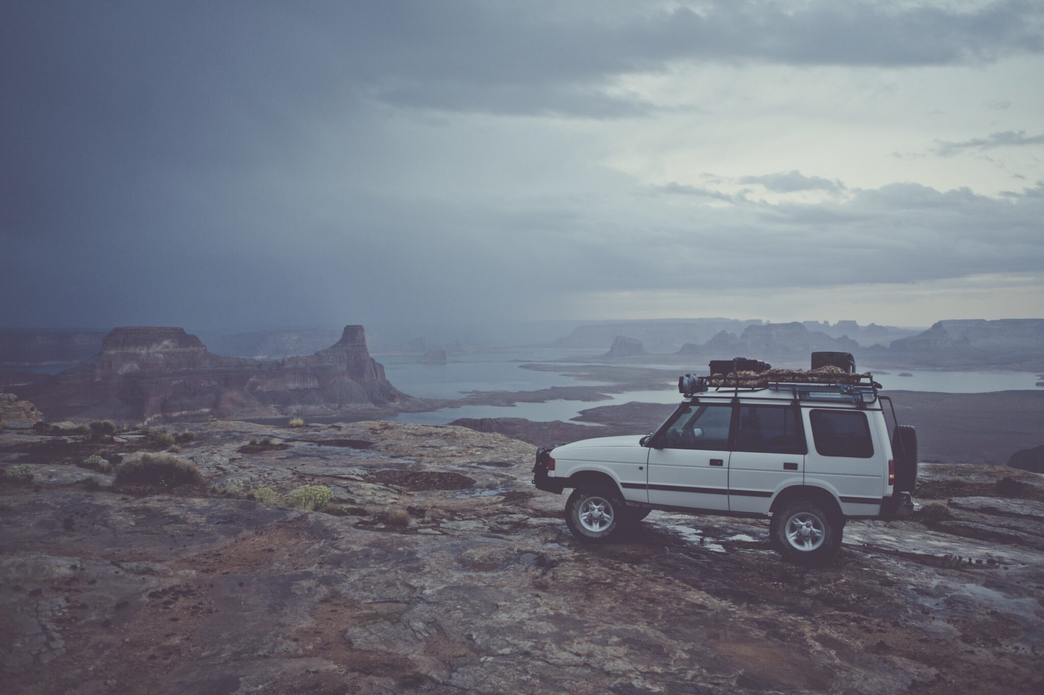
My vehicle was a 1999 Discovery SD that had a three-inch lift, front and rear lockers, steel front and rear bumpers, and a 12,000-pound winch. Inside I had a National Luna refrigerator from Equipt and drawer system from AT Overland in the back. Up top it carried a Safety Devices low roof rack for fuel or other equipment. I tried to keep as much weight down low as possible.
How often do you see people out there?
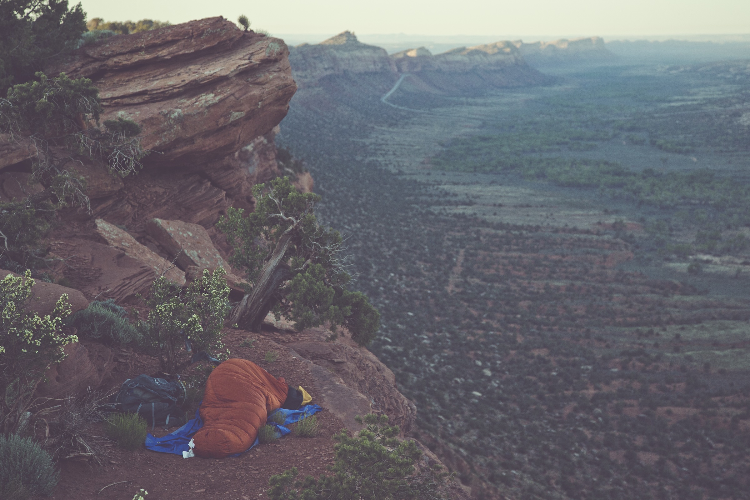
Depends on what time of year you go. Late fall is my favorite, because no one is out there and the temps are perfect. Spring is the worst, there are so many people. But that’s only on the main sections. There are spots along the route that no matter what time of year, you would be hard-pressed to see another traveler.
How long would it take to drive the whole thing?
You can do it in seven days if you are just burning miles. I suggest ten to fourteen days to be able to fully enjoy it. There is also the consideration of weather, it will change your route, hunker you down and make you wonder why you decided to leave the house.
How many miles is it?
Nine hundred or so.

For a long time, it seemed that you were protective of the actual location of the route, but for a while you were considering mapping it, right? What are your thoughts now on identifying the actual roads, routes, and locations? Does the ubiquity of social media affect your position on this?
My initial thoughts on the traverse were to have it more of an idea a series of dots that someone could connect on their own. The more savvy the traveler, the better their route would be. I have my route that I think is in my opinion the best way to get from Nevada to Colorado. There was a prominent Utah businessman that also overlands quite a bit and heard about the traverse and we talked about making it an official trail. But the political landscape in Utah is such now that no one wanted to touch it because they were afraid it would add more protections to the landscape. These “protections” would keep the the energy extraction business out, that was the fear. The other monuments have barely affected overlanding, hunting, and outdoor recreation, yet they have kept the energy business out. The route takes you right between the actual Bears Ears peaks, for which the newest and most controversial monument was named.
Is it better west-east or east-west?
I like to get a late start in the morning. Drive through the heat of the day, get to camp at dusk. With that in mind I like driving west to east. Sun at your back as you pull in to camp.
Any thoughts on north-south?
A few guys have done a route from the northwest corner to the southeast corner. For me that holds very little interest just because you don’t get into the goods until you actually get onto the Colorado Plateau.
Any breakdowns out there? Or been stuck?
We’ve had everything from being stuck in quicksand, breaking shocks, failed fuel pumps, blown drive shafts, radiator failures. One time we were out on the southern portion of Hole in the Rock Road. It’s some of the worst doubletrack in Utah—it’s not technical driving, but the sustained grind of ledges and boulders. One of our trucks had a shock break at the attachment point. Weather was moving in, so the decision was made to move all necessary gear into the other trucks and press on, leaving the other truck behind. We ended up in heavy thunderstorms and had to camp on ledge halfway up Grey Mesa. Flash floods were tearing all around us.
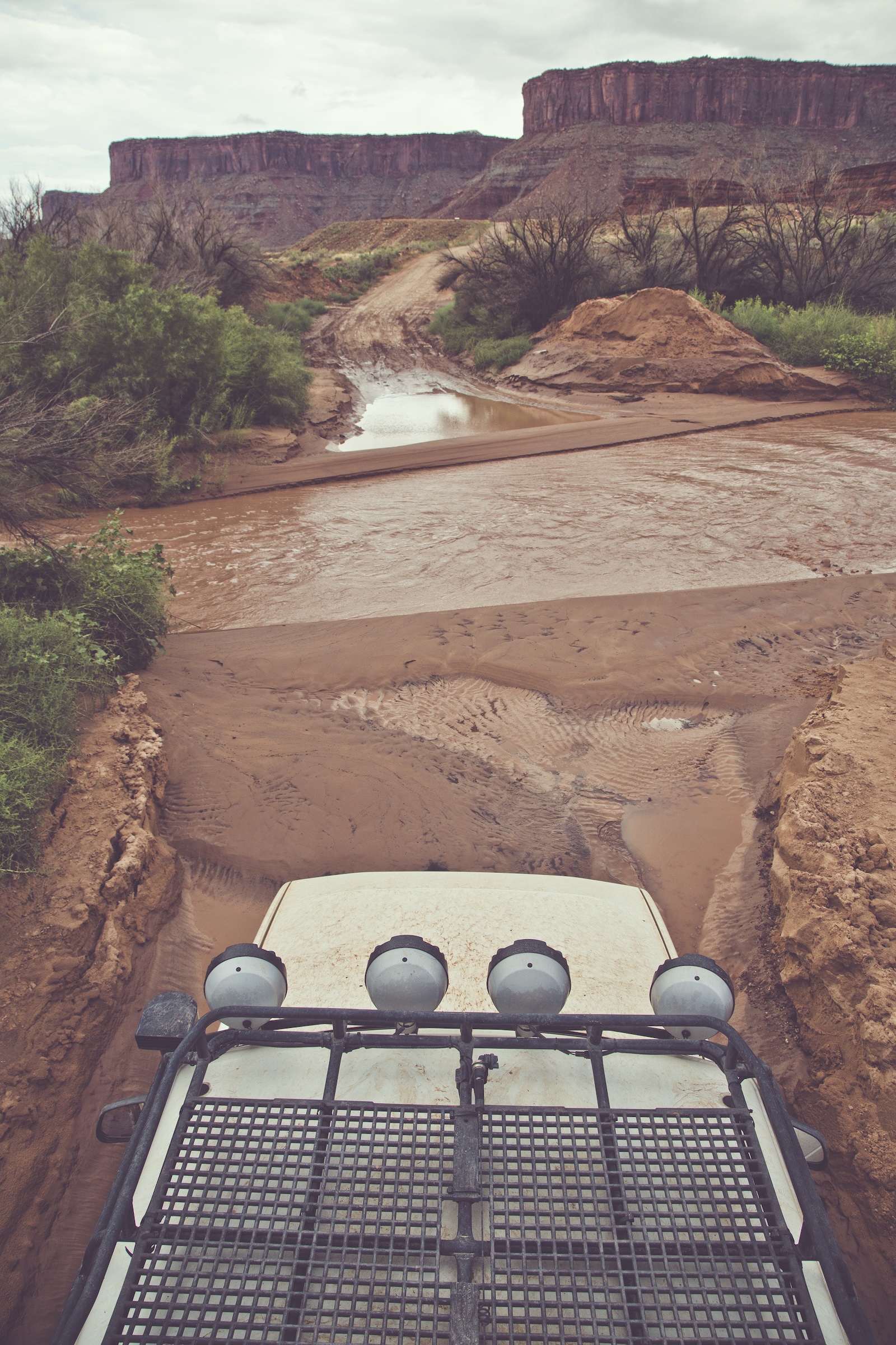
Quicksand is the worst. It’s an obstacle you can’t see and you usually don’t know you’re in it until it’s too late, and the more you move the more liquid it becomes. I was alone in a canyon of Lockhart Basin, where the curve of the canyon was such that the water had left a ledge that I needed to get up. After a few failed attempts, my attention was brought to the gurgling sound coming from my exhaust. I looked back and the entire back of my truck had sunk up to the rear bumper, which normal is 33 inches off the ground. I jumped out and pulled winch line to the nearest juniper tree. The winch strained to pull us out even with the truck under power—the slurp of the truck coming free was one of the sweetest sounds I’ve ever heard.
What’s the farthest you get from pavement? From gas? From help?
The farthest you can get from pavement is about seventy miles. The farthest route from fuel is Green River through Robbers Roost down the Flint Trail along the Orange Cliffs to Hite Marina, which may or may not have fuel. I think directly it is one hundred thirty miles, include the side roads and exploring it easily gets up to two hundred miles. Help is really never far away with PLBs and such, but you don’t want to get hurt out there.
What’s the crux?
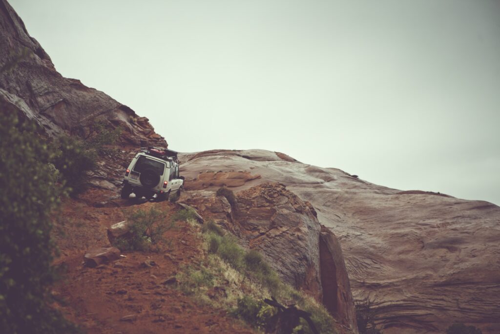
This all depends on the conditions. The most gripped I’ve ever been was on a slight grade of bentonite clay that was wet. It was a section of road I had driven over and ridden both a bicycle and a motorcycle, but when it was wet it was nearly impossible and gravity just kept pulling the truck closer to the edge. Mind you, this was in a fully locked Land Rover Discovery with BFG AT tires and I was essentially on an angular ice rink with heavy gravity.
If we are talking normal conditions, then the crux of the route is both Bobby’s Hole and Elephant Hill in the Needles District of Canyonlands National Park. Bobby’s Hole is a steep side hill a little less than a quarter of mile, it’s as though at one point someone dynamited what would eventually become a road and walked away from it, leaving boulders the size Smart Cars with four-foot ledges to overcome. Elephant Hill has to be one of the most stunning routes over a hill. There is a switchback so tight you have to back down or up depending on what direction of travel you are going.
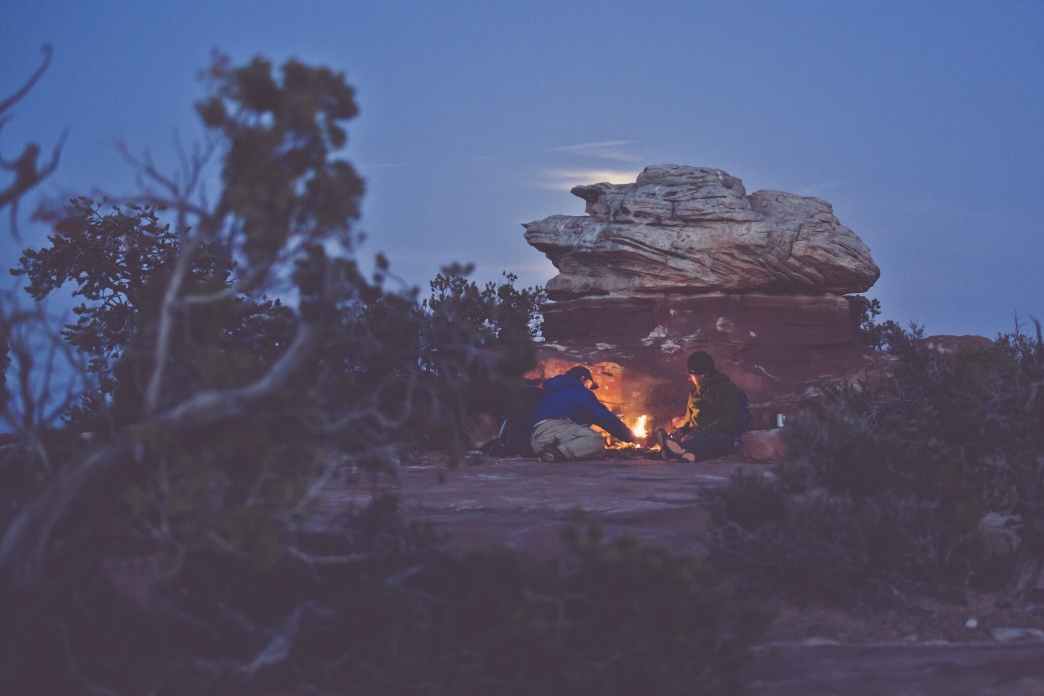
In December 1879, Elizabeth Decker’s Mormon expedition was stuck. Nearly two hundred fifty men, women, and children, plus hundreds of stock animals, were emigrating from western Utah east to settle lands just north of the San Juan River. Their chosen route was hundreds of miles shorter than existing trails, but the path was unknown, and when they were almost to the Colorado River, they were blocked by two thousand feet of cliffs, with the river far below. Instead of turning back, though, they spent six weeks widening a steep, narrow couloir with explosives until it was wide enough to lower their wagons down the forty-five-degree pitch.
Once past what’s now known as Hole-in-the-Rock, the emigrants still weren’t done with their ordeal. Waiting on the other side of the Colorado was an even more jumbled maze of canyons, mesas, and cliffs. Crossing it was impossible. The Mormons instead skirted the shadowed depths of Grand Gulch and then in April, exhausted and dismayed, gave up. They were twenty miles short of their destination and would go no further. The spot they stopped is now the town of Bluff.
The steps of the Colorado Plateau are remarkably uniform, especially when compared to the radical deformations that built the Rocky Mountains to the east and the slow stretching that formed the Basin and Range province to the west. Only the methodical cycle of rain and wind have carved these lands, and while a legacy of mining, ranching, and pioneering tracks follow more drainages than not, any path across them is the opposite of straight. Hole-in-the-Rock is the exception rather than the rule, and nearly one hundred years later, getting anywhere in this part of the world is still an adventure. Bad roads, big hazards, iffy weather, lack of help, and no phone service in the “the roughest country you or anybody else ever seen” keep most people out. But others see the reward in the challenge, and for them there’s no better place to be.